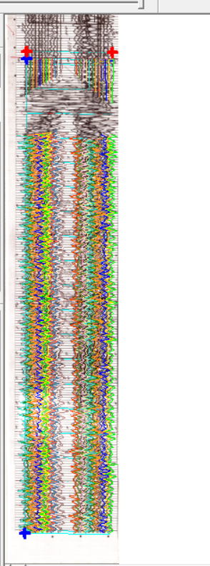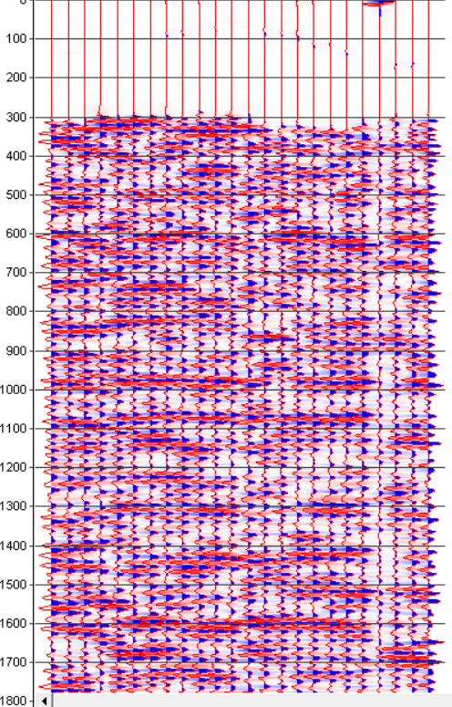

We are Seismic vectorizing and trace tracking specialists. Combining our considerable experience with unique proprietary software, we produce a digital output which is true to the original seismic data. Seismic vectorizing quality varies widely across the industry. Although some vectorized SEG-Y files may initially appear acceptable, they will often be missing much of the underlying data. R2V’s SEG-Y output derives from newly developed vectorizing software with several techniques.
- We use image editing software specifically designed for large image and can consolidate multiple seismic images into one section.
- Shot point and CMP data is recorded.
- Our software predicts the invisible positive overlap of the peaks and also tracks the negative tough wiggle line.
- Each trace is band pass filtered and amplitude balanced across the whole trace.
- The final output is represented as a 32-BIT IBM floating point SEG-Y file.
- Navigation information can be added to the SEG-Y files for the easier loading.
- Most colour seismic sections can be accurately digitized to SEG-Y, common examples of this display type include Grey scale, Black-Red and Red- Blue.
- The input to reconstruction process is a scanned image of the seismic section in Tiff, Gif, Jpeg, PNG & Bmp format.
After reconstruction of seismic wave-forms we would, if required, populate the seismic data with navigation information before conversion to SEG-Y. The client may supply the X & Y values of header population or we may be required to digitize the navigation information from seismic line maps and then load them to seismic data.


