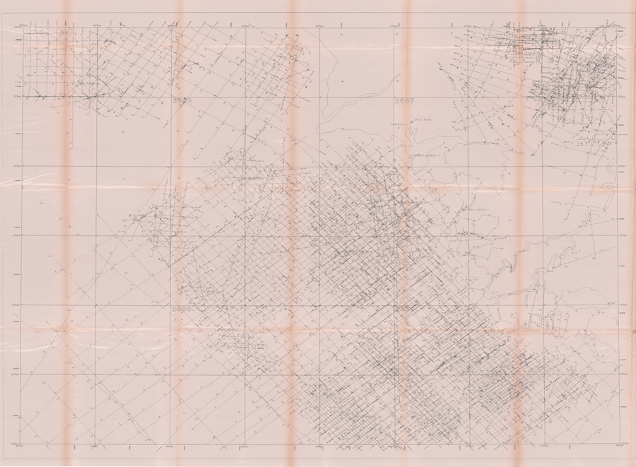

Map Digitization is the process of converting analog data into digital data sets. In GIS context digitization refers to creating vector datasets viz., point, line or polygon from raster datasets. It is a way of tracing/recording geographic features in vector format from georeferenced images or maps. With the help of digitization we can create different set of layers Viz. Rivers, roads, schools, ward boundaries and building blocks from a single map; this process is known as Vectorization. Vector data is easy to edit, update and is more accurate as compared to raster data. Vector data is more efficient for GIS analysis. Due to these reasons Vectorization is the first step in many GIS projects. However it is a time consuming process and needs a lot of attention to prevent introduction of errors in the datasets.


